
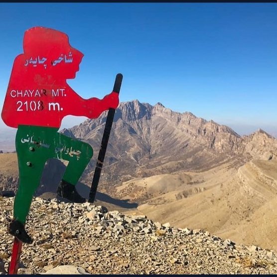
Chayar Peak
- Wind 12 km/h
- Rain today 0 mm
- Rain chance 0%
Wind is within the safe limit (up to 20 km/h).
AI visitor guidance
Wind is within the limit. Take water, a hat, and trail gear, and tell someone about your trip plan before you leave.
Notify someone close
Before you go, send this plan to a trusted person. We do not track you — you send the message.
Plan copied.
Sulaymaniyah - Piramagrun
About the area
Chayar Peak is one of the prominent and attractive peaks of the Piramagrun mountain range in Sulaymaniyah Governorate. Due to its captivating nature, this area has become a constant focus for hiking groups across Kurdistan. Here is some key information about this peak and its trails: • Geographical location: The peak is located near the Mergapan area and its surrounding villages.
Visit time
How long to stay, and when it is open
Typical visit 3 hours
Route map
198 waypointsOpen the route in a maps app, or download the map file for GPS.
Creator Name
بارام ڕزگار
Keywords
Reviews
No reviews yet. Be the first to share your experience.